Indonesia’s Space Agency LAPAN to Cooperate with Jakarta’s Local Government on Development
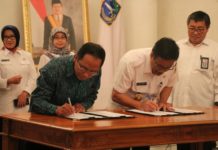
LAPAN will cooperate with the Provincial Government of Jakarta City on aeronautics and science and technology to support development projects.
The draft of agreement with both parties was signed by the Head of LAPAN,...
India’s National Remote Sensing Centre Releases Upgraded Disaster Management Portal
India’s National Remote Sensing Centre (NRSC), an arm of the Indian Space Research Organization (ISRO), has released its National Database for Emergency Management (NDEM), Version 3.0.
Commissioned by the Ministry of Home...
Data from Fengyun-4 Used for the First Time to Track Dust Storms
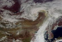
The northern parts of China have seen the most serious dust storm of the year.
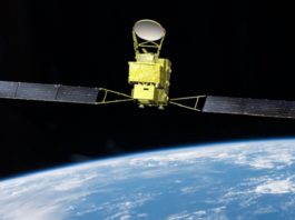
On the morning of 4 May, Fengyun-4 (FY-4) meteorological satellite monitored the movement of the dust storm and...
New ISRO App Calculates Solar Energy Potential Using Satellite Data
Solar energy industry professionals can now use the Indian Space Research Organisation’s (ISRO) new Android app, Solar Calculator, to help with decision-making in numerous applications.
The new app enables users to calculate...
ISRO Releases Updated Data from Satellites
The Indian Space Research Organization (ISRO) has released updated satellite data from two of its satellites, Scatsat-1 and RISAT-1, on 24 April 2017 and 18 April 2017 respectively.
Data sets from...
Myanmar’s Cyclone Maarutha Dissipates, Claiming Three Lives
Cyclone Maarutha, which hit Myanmar on Sunday night, has dissipated, leaving a trail of flooding and destruction in its wake.
According to Reliefweb, the cyclone claimed three casualties in the Irrawaddy Division...
Russia and Indonesia to Collaborate on Indonesian Space Activities
Indonesia’s space agency, LAPAN, reported that it has begun discussions with Russia on space-related collaborations, especially in remote sensing.
LAPAN announced yesterday that Russian Ambassador to Indonesia Mikhail Galuzin paid a visit...
India Launches a New Portal, Giving Citizens Access to Maps
The Survey of India (SoI), a government organization in charge of mapping and surveying the nation, has launched its Nakshe web portal, which allows Indian citizens to download maps from its...
India’s Ministry of Agriculture Signs Geotagging MOU with the National Remote Sensing Centre
ISRO’s National Remote Sensing Centre and India’s Ministry of Agriculture have signed a Memorandum of Understanding (MOU) for the geotagging of agricultural assets under the Rashtriya Krishi Vikas Yojana scheme.
This...
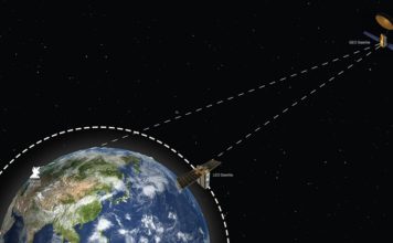
AsiaSat to Launch First Dedicated Myanmar Satellite Beam
AsiaSat, one of Asia’s largest satellite operators based in Hong Kong, will provide Myanmar with its first dedicated satellite beam this October when it launches AsiaSat-9, its 10th orbital satellite so...

