Airbus’ Starling initiative: Can it reduce deforestation in Southeast Asia?
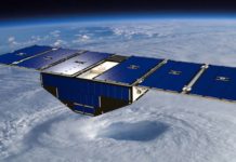
Airbus has announced the official launch of its Starling initiative, which aims to verify that companies are honouring their “No Deforestation” commitments, and to encourage them to do so. The launch...
Japan’s Tsubame records lowest ever satellite altitude
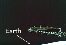
Tsubame, an Earth Observation satellite developed by Japan's space agency JAXA, has been registered by the Guinness World Records as having achieved the “lowest altitude by an Earth observation satellite in...
China launches 3 commercial remote sensing satellites
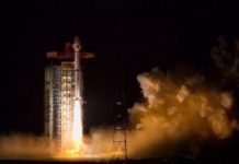
Today (21 November 2017), at 12:50 p.m. Beijing time (GMT+8), China launched 3 commercial remote sensing satellites for Chang Guang Satellite Technology Co.
Part of the company’s Jilin 1 satellite series, the...
Arianespace to launch KOMPSAT-7 for South Korea’s space agency
South Korea’s space agency, the Korea Aerospace Research Institute (KARI), will launch earth observation satellite KOMPSAT-7 on Arianespace’s Vega C rocket in 2021.
KOMPSAT-7 will be the fourth KARI satellite – as...
USAID, Inmarsat partner on sustainable fishing in South-East Asia
The United States Agency for International Development’s Oceans and Fisheries Partnership (USAID Oceans) and Inmarsat Global Limited (Inmarsat) have announced a new partnership to help commercial fishing crews promote sustainable fishing...
e-GEOS to supply Australian Maritime Safety Authority with satellite data for oil spills
On 7 February e-GEOS, a joint venture of Telespazio (a partnership between Thales and Leonard) and the Italian Space Agency, announced that it has won a contract to supply geo-information services...
Japan launches SHIKISAI & TSUBAME satellites
On 23 December 2017, at 10:26 a.m. JST (1:26 a.m. UTC), Japan’s space agency JAXA launched two satellites , Global Changing Observation Mission - Climate "SHIKISAI" (GCOM-C) and the Super Low...
NASA, New Zealand partner to collect climate data from commercial aircraft using GNSS
NASA is partnering with the New Zealand Ministry of Business, Innovation and Employment, New Zealand Space Agency, Air New Zealand and the University of Auckland to install next-generation Global Navigation Satellite...
ISRO Sends Two Research Teams to Antarctica to Monitor Climate Change
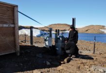
The Indian Space Research Organization (ISRO), has sent two research teams as part of the 36th Indian Scientific Expedition to Antarctica (36-ISEA), which aims to monitor climate change.
Conducted annually, the Indian...
China launches Gaofen-5 hyperspectral imaging satellite for atmospheric research
On 9 May 2018, at 2:28am, China launched Gaofen-5 (GF-5), a remote sensing satellite meant to conduct scientific research on the earth’s atmosphere. The launch took place using the Long March...

